Table of Contents
Did you know that accurate severe weather forecasting in Australia relies on a wide range of advanced technologies? These technologies, including weather prediction tools, meteorological instruments, advanced forecasting systems, storm tracking solutions, weather modeling software, and climate monitoring devices, play a crucial role in predicting and tracking severe weather events.
Severe weather events, such as bushfires, heatwaves, floods, and cyclones, pose significant challenges in Australia. The social and economic costs of these events are immense, with lives lost, property damage, and a heavy economic impact. To mitigate these risks, accurate and timely weather forecasts are essential for preparedness and response efforts.
In this article, we will explore the technologies used in severe weather forecasting in Australia and their importance in enhancing the country’s preparedness and response to extreme weather events. From advanced forecasting systems to data analysis techniques, we will delve into how technology is revolutionizing weather prediction and helping build more resilient communities.
Key Takeaways:
- Severe weather forecasting in Australia relies on advanced technologies such as weather prediction tools, meteorological instruments, and climate monitoring devices.
- Extreme weather events in Australia have significant social and economic costs, including loss of life, property damage, and economic impact.
- The CSIRO and the Bureau of Meteorology (BoM) have developed the ACCESS capability, which has significantly improved the accuracy of weather forecasts in Australia.
- Integrated solutions and partnerships are crucial in developing effective severe weather forecasting systems.
- Accurate weather forecasting has a wide range of applications, from agriculture to water management, industry and infrastructure, and the energy sector.
The Challenge of Severe Weather Events in Australia
Australia is a country that faces the constant challenge of extreme weather events. From devastating bushfires to scorching heatwaves, destructive floods to powerful cyclones, these events have wide-ranging and profound impacts on the nation. The social and economic costs of severe weather events in Australia are alarmingly high, with lives lost, property damage, and a significant economic impact.
In recent years, Australia has experienced the devastating consequences of extreme weather events firsthand. Lives have tragically been lost, leaving families and communities devastated. Moreover, the financial toll is substantial, with tens of billions of dollars in insurance claims, infrastructure repair, and lost productivity. The economic impact reverberates across various sectors of the economy, affecting industries, businesses, and individuals.
One recent example illustrates the severity of the situation. The 2019-2020 bushfire season in Australia resulted in the loss of over 30 lives, thousands of properties destroyed or damaged, and significant environmental devastation. The economic impact has been estimated at over AUD 103 billion, including insurance claims, tourism losses, and reduced agricultural productivity.
“The social and economic costs of severe weather events in Australia are alarming.”
To fully comprehend the magnitude of the challenge, consider the economic impact alone. The cost of property damage from extreme weather events, such as floods and storms, can be astronomical. Additionally, disruption to vital infrastructures, such as roads, power lines, and communication systems, hinders economic activity and recovery efforts.
Furthermore, the far-reaching consequences of severe weather events affect not only individuals and businesses but also governments and communities as a whole. The strain placed on emergency response services, healthcare systems, and social support networks is immense. Rebuilding communities and providing support to those affected require significant resources and coordination.
Indeed, severe weather events can test the resilience of communities and challenge the effectiveness of disaster response strategies. The impact of these events goes beyond the immediate damage caused, as the recovery process can be long and complex. Efforts to rebuild and enhance resilience require both financial investment and a comprehensive understanding of the ecological and socio-economic dimensions of the affected regions.
The image below provides a glimpse into the devastating effects of extreme weather events.
| Event | Lives Lost | Property Damage (AUD) | Economic Impact (AUD) |
|---|---|---|---|
| Bushfires 2019-2020 | Over 30 | Billions | 103 billion |
| Floods 2018-2019 | 6 | Millions | 2.7 billion |
| Cyclone Debbie 2017 | 14 | Billions | 2.55 billion |
As the table demonstrates, the impact of severe weather events is not only measured in terms of lives lost, but also in the extensive property damage and the economic repercussions that follow. These events demand immediate attention and effective measures to mitigate their devastating effects.
In the next section, we will explore the advancements in severe weather forecasting technologies that have the potential to enhance Australia’s preparedness and response to these extreme weather events.
Forecasting and Resilience
To improve preparedness and response to extreme events, the CSIRO and the Bureau of Meteorology (BoM) have developed a cutting-edge capability known as ACCESS. This capability has significantly increased the accuracy of Australia’s weather forecasts. CSIRO’s insights into high-intensity fire behavior and technologies for early warning are used by fire and emergency management agencies to reduce the likelihood and impact of catastrophic fires. CSIRO also works closely with urban planners, the property and insurance industries, and local government to minimize the impacts of inundation in vulnerable coastal areas. They have identified more resilient construction materials and designed facilities that are less vulnerable to extreme events.
CSIRO’s ACCESS Capability
The ACCESS capability is a collaborative effort between CSIRO and the Bureau of Meteorology (BoM) to enhance weather forecasting in Australia. Through advanced modeling techniques and data analysis, ACCESS provides more accurate and timely weather forecasts, enabling communities and authorities to make informed decisions.
One key aspect of ACCESS is its ability to provide accurate insights into high-intensity fire behavior. By analyzing various factors such as weather conditions, fuel availability, and topography, CSIRO’s fire behavior insights help fire and emergency management agencies develop effective strategies to combat wildfires. This proactive approach reduces the likelihood and impact of catastrophic fires, safeguarding lives and properties.
Early Warning Systems
ACCESS also includes state-of-the-art technologies for early warning systems. By monitoring weather patterns and detecting anomalies, these systems provide timely alerts to authorities and communities about impending severe weather events. This advanced warning enables proactive measures to be taken, such as evacuations, resource mobilization, and infrastructure reinforcement, reducing the potential damage and loss of life.
Resilience Measures
In addition to forecasting capabilities, CSIRO actively collaborates with urban planners, the property and insurance industries, and local government to develop resilience measures against severe weather events. These measures include identifying and promoting the use of more resilient construction materials, designing buildings and infrastructure to withstand extreme events, and implementing appropriate land-use planning and zoning strategies.
By integrating scientific research, technological advancements, and practical solutions, CSIRO’s resilience measures aim to minimize the impacts of extreme weather events on communities, infrastructure, and the environment.
Benefits of ACCESS Capability and Resilience Measures
The combination of accurate weather forecasts and resilience measures has several significant benefits:
- Improved preparedness and response to extreme events
- Reduced risks and impacts of catastrophic fires
- Enhanced early warning systems for timely and effective actions
- Minimized damage and loss of life in vulnerable coastal areas
- Promotion of resilient construction materials and practices
- Sustainable land-use planning and zoning strategies
These benefits contribute to the overall resilience of communities and the ability to withstand and recover from severe weather events.
| Benefit | Description |
|---|---|
| Improved Preparedness and Response | ACCESS capability enables accurate and timely weather forecasts, providing valuable information for preparedness and response efforts during extreme events. |
| Reduced Risks of Catastrophic Fires | CSIRO’s fire behavior insights and early warning systems help mitigate the risks and impacts of catastrophic fires, protecting lives and properties. |
| Enhanced Early Warning Systems | The advanced technologies integrated into ACCESS enable the development of robust early warning systems, ensuring timely alerts and proactive measures. |
| Minimized Impacts on Coastal Areas | CSIRO’s collaboration with urban planners and local government helps minimize the impacts of inundation in vulnerable coastal areas through resilient construction materials and appropriate land-use planning. |
| Promotion of Resilient Construction | By identifying and promoting the use of more resilient construction materials, CSIRO contributes to the overall resilience of buildings and infrastructure. |
| Sustainable Land-Use Planning | CSIRO’s collaboration with urban planners helps develop sustainable land-use planning strategies that consider the risks and impacts of extreme weather events. |
Integrated Solutions for Severe Weather Forecasting
CSIRO, in partnership with governments, industry, and the community, is at the forefront of developing integrated solutions for severe weather forecasting. Recognizing the complexity of the challenges we face, CSIRO leverages its diverse expertise and collaborates with multiple stakeholders to deliver practical options and solutions. By mobilizing engineering expertise, agriculture research, social and economic research, and world-class expertise in various fields, CSIRO strives to provide comprehensive and effective approaches to severe weather forecasting.
Through these partnerships, CSIRO combines the best engineering practices with cutting-edge technological advancements to design weather forecasting systems that can accurately predict and monitor severe weather events. By integrating agriculture research, CSIRO ensures that its forecasting solutions address the unique challenges faced by the agricultural sector, allowing farmers to make informed decisions in response to extreme weather conditions.
Furthermore, social and economic research is an essential component of CSIRO’s integrated approach to severe weather forecasting. By understanding the social and economic impacts of severe weather events, CSIRO can develop tailored solutions that mitigate these impacts and enhance community resilience. This holistic approach ensures that the needs of different sectors and communities are taken into account when developing forecasting solutions.
Partnerships and Collaboration
CSIRO’s approach to severe weather forecasting is underpinned by strong partnerships and collaborations with other knowledge-intensive organizations, both nationally and globally. By fostering these partnerships, CSIRO can tap into world-class expertise, leverage cutting-edge technology, and benefit from interdisciplinary research and development. This collaboration ensures that CSIRO’s forecasting solutions adhere to the highest standards and are continuously improved through shared knowledge and resources.
| Benefits of Partnerships | Partners |
|---|---|
| Accessing engineering expertise for system design and implementation | Universities, engineering firms |
| Gaining insights from social and economic research | Research institutions, government agencies |
| Developing tailored solutions for the agricultural sector | Agricultural research organizations, farming communities |
By collaborating with partners who possess domain-specific knowledge and expertise, CSIRO ensures that its forecasting systems are robust, accurate, and tailored to the needs of different industry sectors and communities.
Our partnerships allow us to harness the collective wisdom and skills of experts across various fields, ensuring that our forecasts are reliable, accurate, and relevant for the challenges faced by communities and industries. Through collaboration, we can address the complex and interconnected nature of severe weather events, supporting decision-making, and enabling effective preparedness and response efforts.
By combining engineering expertise, agriculture research, social and economic research, and world-class knowledge, CSIRO strives to deliver integrated solutions that enhance our ability to forecast and mitigate the impacts of severe weather events. Through partnerships and collaboration, CSIRO is at the forefront of developing cutting-edge forecasting systems that improve the resilience and well-being of communities and industries across Australia.
Impact of Advanced Forecasting Systems
The CSIRO-BoM ACCESS model revolutionizes weather forecasting in Australia, delivering a ten-fold improvement in accuracy every day. This significant advancement in predicting severe weather events has resulted in numerous positive impacts, including:
- Improved Weather Forecasts: The ACCESS model has significantly enhanced the accuracy of weather forecasts across Australia. This has enabled individuals, communities, and organizations to make informed decisions and take appropriate actions well in advance of severe weather occurrences.
- Enhanced Local Government Planning: The precise forecasting provided by the ACCESS model has empowered local government authorities to better plan and allocate resources for mitigating the effects of severe weather events. This has led to more effective zoning and infrastructure development, ensuring the long-term resilience of coastal communities.
- Cost Savings: The ACCESS model’s improved accuracy has resulted in considerable cost savings. Specifically, the enhanced local government planning and zoning facilitated by accurate forecasts have estimated savings of A$200 million for coastal communities. These savings can be invested in further infrastructure development and social services, improving the overall quality of life.
- Emergency Situation Awareness: CSIRO has developed the Emergency Situation Awareness (ESA) software, which is utilized by emergency managers in New South Wales, Victoria, and Queensland. This software rapidly provides awareness of incidents, allowing for swift emergency response and efficient recovery from damage. As a result, lives are saved, and communities can bounce back more quickly from severe weather events.
“The ACCESS model’s improved accuracy has transformed the way we prepare for and respond to severe weather events. It has greatly enhanced our ability to protect lives, property, and critical infrastructure in Australia.”
Overall, the impact of advanced forecasting systems, such as the CSIRO-BoM ACCESS model, cannot be overstated. Improved weather forecasts, enhanced local government planning, cost savings, emergency situation awareness, and ultimately, lives saved, are just a few of the tangible benefits brought about by these technological advancements.
The Role of Technology in Severe Weather Forecasting
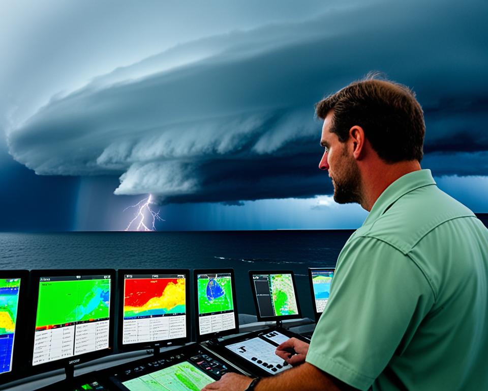
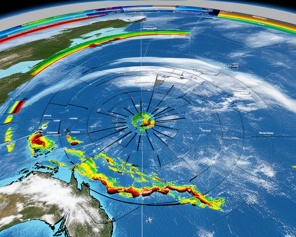
Technology plays a critical role in severe weather forecasting. Advances in remote sensing, data analysis, and computer modeling have greatly improved our ability to predict and track severe weather events in Australia. Weather satellites provide real-time imagery of storm movement, while Doppler radar measures wind speed and direction within cyclones. Automated weather stations record rainfall and other meteorological data on the ground, contributing to accurate forecasts and measurements.
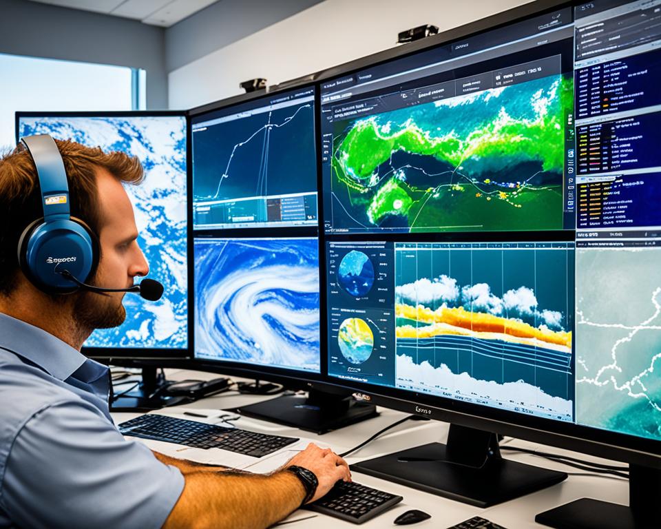
In severe weather forecasting, remote sensing technologies are employed to gather data about the atmosphere from a distance. This includes the use of satellites equipped with sensors that can detect and measure various elements such as temperature, humidity, and cloud formations. By capturing images and data from space, remote sensing allows meteorologists to monitor and analyze weather patterns from a global perspective, providing valuable information for forecasting severe weather events.
Data analysis is another crucial aspect of severe weather forecasting. Meteorologists employ sophisticated algorithms and statistical models to analyze large volumes of data collected from various sources such as weather stations, satellites, and radar systems. This analysis helps identify patterns, trends, and anomalies that can provide insights into the development and behavior of severe weather systems. By leveraging data analysis techniques, meteorologists can make more accurate predictions about the timing, intensity, and potential impacts of severe weather events.
Computer modeling plays a vital role in simulating and predicting severe weather events. Meteorologists use advanced computer models that take into account various atmospheric factors, such as temperature, humidity, pressure, and wind patterns, to create virtual simulations of weather systems. These models allow meteorologists to study the behavior and progression of severe weather events, helping to refine forecasts and improve early warning systems.
The collaboration between remote sensing, data analysis, and computer modeling enables meteorologists to generate more accurate and precise forecasts of severe weather events. This information is crucial for government agencies, emergency response teams, and communities to prepare and respond effectively to severe weather threats.
Measuring the Impact of Severe Weather
Technology is not only used for forecasting severe weather but also for measuring its impact. Drones equipped with cameras and sensors can capture high-resolution images of the damage caused by flooding, landslides, and other severe weather events. These images help emergency responders assess the extent of the damage and prioritize rescue efforts accordingly. This technology enables more effective emergency response and facilitates efficient resource allocation.
By utilizing drones, emergency response teams can quickly assess the affected areas and gather valuable data for damage assessment. The high-resolution images captured by drones provide detailed insights into the magnitude of destruction caused by severe weather events. This information is crucial for understanding the scope of the situation and determining the appropriate response.
The use of drones in emergency response also aids in prioritizing rescue efforts. By gaining a comprehensive view of the impacted areas, responders can identify areas with high levels of damage or immediate threats to human life. This allows them to allocate resources and personnel strategically, ensuring that the most critical areas receive prompt attention.
Moreover, drones equipped with specialized sensors can provide real-time data on various environmental factors, such as temperature, humidity, and air quality. This data helps emergency responders monitor the conditions during and after severe weather events, ensuring the safety of both responders and affected communities.
In addition to emergency response, the data collected by drones can be used for further analysis and research. The high-resolution images contribute to accurate damage assessment, enabling better understanding of the impacts of severe weather events on infrastructure, environment, and communities. This information is valuable for developing strategies to mitigate future risks and improve resilience in the face of severe weather.
Benefits of Drone Technology in Measuring Severe Weather Impact:
- Quick assessment of affected areas
- High-resolution images for detailed damage assessment
- Prioritization of rescue efforts based on real-time data
- Monitoring of environmental factors during and after severe weather events
- Contribution to research and analysis for future risk mitigation
With the increasing advancement of drone technology, their role in severe weather assessment and emergency response continues to expand. The ability to capture high-resolution images, gather real-time data, and aid in prioritizing rescue efforts makes drones an invaluable tool for measuring the impact of severe weather events.

Tech Jobs in Meteorology and Weather Forecasting
The field of meteorology and weather forecasting offers numerous opportunities for tech professionals to contribute their expertise. From software developers to data scientists, various roles play a crucial part in advancing the accuracy and effectiveness of weather predictions.
Software Developers
Software developers are instrumental in developing and maintaining software applications used for weather data analysis in meteorology and weather forecasting. They leverage their programming skills to create robust and user-friendly tools that enable meteorologists to process and analyze vast amounts of weather-related data, ultimately improving the accuracy of forecasts.
Data Scientists
Data scientists play a vital role in weather forecasting by developing algorithms and statistical models to enhance the accuracy and reliability of predictions. They leverage advanced analytical techniques and machine learning algorithms to analyze historical weather data and patterns, enabling them to make more accurate predictions about future weather conditions.
Web Developers
Web developers contribute to meteorology and weather forecasting by creating web applications that provide real-time weather information to the public. They build intuitive and visually appealing user interfaces and ensure that the data is displayed accurately and dynamically, enabling individuals to access up-to-date weather forecasts and alerts conveniently.
Mobile Developers
Mobile developers play a crucial role in weather forecasting by designing and developing weather forecast and alert mobile applications. They create user-friendly interfaces that provide easy access to real-time weather updates and severe weather warnings, helping individuals stay informed and prepared for any upcoming weather events on their mobile devices.
GIS Developers
GIS (Geographic Information System) developers work on creating geographic information system applications specifically tailored to the needs of meteorologists and weather forecasters. They integrate weather data and spatial information to develop interactive and visually appealing maps that allow meteorologists to analyze weather patterns in a spatial context, providing valuable insights for forecasting and decision-making.
These are just a few examples of the diverse tech jobs available in the field of meteorology and weather forecasting. As technology continues to advance, the demand for skilled professionals in these areas will continue to grow, contributing to more accurate weather predictions and ultimately ensuring the safety and well-being of communities.
| Job Title | Responsibilities |
|---|---|
| Software Developer | Develop and maintain software applications for weather data analysis |
| Data Scientist | Develop algorithms and statistical models for accurate weather forecasts |
| Web Developer | Create web applications providing real-time weather information |
| Mobile Developer | Develop weather forecast and alert mobile applications |
| GIS Developer | Create geographic information system applications for weather analysis |
Importance of Accurate Weather Forecasting
Accurate weather forecasting is crucial for various sectors in Australia. It plays a vital role in mitigating the economic impact of weather and climate events, improving business efficiency and profitability, informing infrastructure planning, and influencing energy generation and use. Severe weather events can have a significant economic impact, with the annual cost estimated to be around 5% of the gross domestic product.
Access to accurate weather forecasts allows businesses and industries to plan effectively and make informed decisions. By anticipating changing or extreme weather conditions, organizations can implement strategies to minimize disruptions and potential losses. This proactive approach enhances business efficiency and profitability, ensuring the smooth operation of various industries, such as agriculture, tourism, transportation, and construction.
Additionally, accurate weather forecasting is essential for infrastructure planning. The construction of resilient and sustainable infrastructure requires consideration of weather patterns, climate projections, and potential risks. By factoring in accurate weather forecasts, stakeholders can design and implement infrastructure that can withstand and adapt to extreme weather events, minimizing damage and ensuring long-term reliability.
Furthermore, energy generation and use are closely tied to weather conditions. Accurate weather forecasts enable energy providers to optimize their operations and resource allocation. For example, solar and wind energy generation can be optimized based on weather patterns, ensuring efficient utilization of renewable resources. Similarly, accurate forecasts help energy consumers plan their consumption, taking advantage of favorable weather conditions to reduce costs and environmental impacts.
“Accurate weather forecasting is not only important for industries and infrastructure planning, but it also has a significant impact on public safety and well-being. Timely and precise forecasts help individuals and communities make informed decisions, such as evacuating in advance of severe weather events or adjusting outdoor activities to avoid potential risks.”
Overall, accurate weather forecasting is a critical tool for Australia’s resilience and preparedness. It not only reduces the economic impact of weather and climate events but also improves business efficiency and profitability, informs infrastructure planning, and influences energy generation and use. As technology and forecasting techniques continue to advance, the accuracy and reliability of weather forecasts will further improve, contributing to safer and more prosperous communities across the country.
Broader Applications and Benefits in Australia
The applications and benefits of advanced forecasting technologies extend beyond severe weather events. These technologies have a significant impact on various sectors in Australia, including agriculture, water management, industry and infrastructure, and the energy sector. Let’s explore how these sectors benefit from the use of advanced weather forecasting technologies:
Agriculture
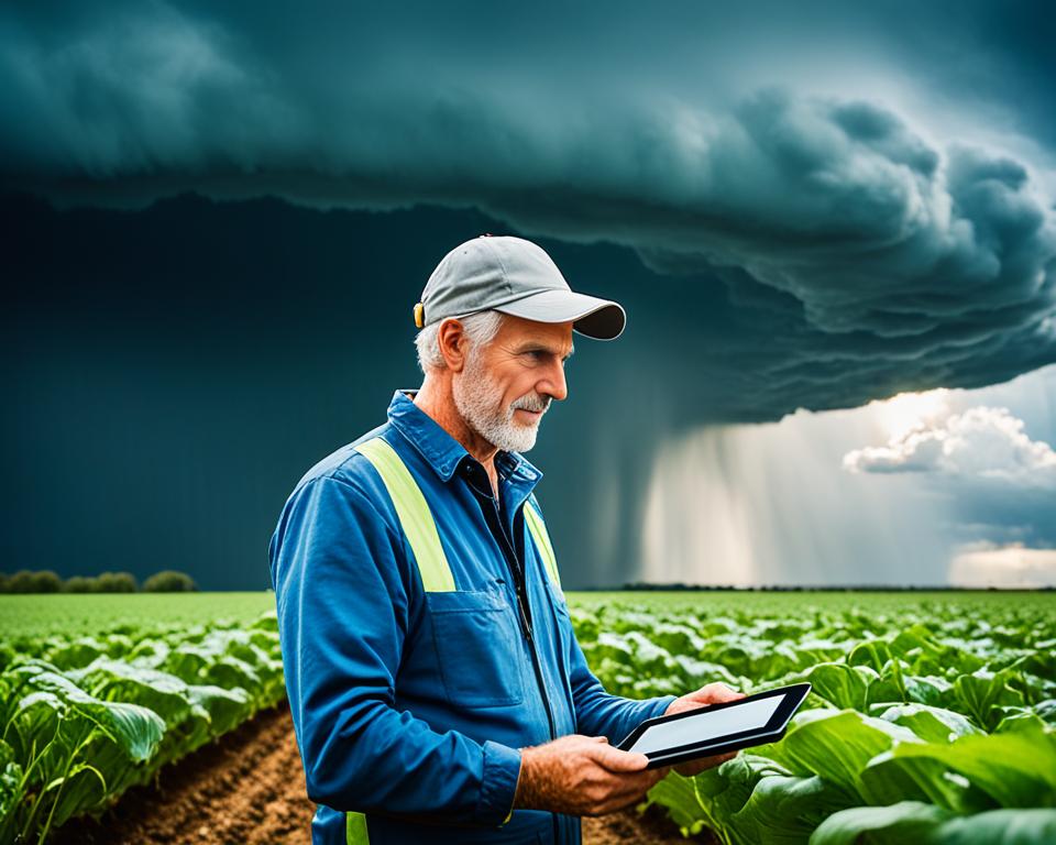
Farmers rely on accurate weather forecasts to make informed decisions about crop planting and stocking. Advanced forecasting technologies provide valuable insights into weather patterns, allowing farmers to optimize irrigation, pest control, and other agricultural practices. This ultimately leads to improved crop yields and more efficient resource utilization.
Water Management
Water authorities and communities play a crucial role in managing water resources effectively. Improved seasonal forecasts help them make informed decisions about water allocation, reservoir operations, and drought management strategies. By understanding future weather patterns, they can better plan for water supply and demand, ensuring sustainable water management practices.
Industry and Infrastructure
The industry and infrastructure sectors heavily rely on accurate weather information for planning and decision-making. For example, construction companies use weather forecasts to optimize construction schedules and mitigate weather-related risks. Similarly, transportation and logistics companies use weather data to plan routes, optimize fuel consumption, and improve operational efficiency. By leveraging advanced forecasting technologies, these sectors can minimize disruptions and maximize productivity.
Energy Sector
The energy sector, including renewable energy generation, heavily relies on weather data for optimal operation and planning. Wind and solar energy generation are particularly influenced by weather conditions. Accurate weather forecasts enable energy providers to optimize energy generation and transmission, taking into account factors such as wind speed, rainfall, temperature, and storms. This leads to enhanced efficiency, reduced downtime, and improved energy planning.
In summary, advanced forecasting technologies have broader applications and significant benefits across multiple sectors in Australia. From optimizing agricultural practices to improving water management, enhancing industry and infrastructure planning, and optimizing energy generation, these technologies play a crucial role in driving efficiency, sustainability, and resilience.
| Sector | Benefit of Advanced Forecasting Technologies |
|---|---|
| Agriculture | Optimized crop planting and stocking decisions leading to improved yields |
| Water Management | Effective water allocation and drought management strategies |
| Industry and Infrastructure | Optimized planning, minimized disruptions, and improved productivity |
| Energy Sector | Optimized energy generation, reduced downtime, and improved planning |
Future Development in Severe Weather Forecasting
Severe weather forecasting is an ever-evolving field that continuously strives for improved accuracy and tailored forecasts. The challenge lies in enhancing seasonal forecasts and extending predictions into the future. This entails the development of improved models, advanced data analysis techniques, and climate projections.
By reducing risks associated with short-term, seasonal, and multi-decadal weather and climate events, the advancements in severe weather forecasting contribute to creating safer and more prepared communities. These developments enable better planning and decision-making, ultimately helping to mitigate the impact of severe weather on lives and infrastructure.
Improved Accuracy
Improved accuracy is a primary focus of future developments in severe weather forecasting. By refining models and incorporating more precise data points, forecasters can provide more reliable predictions. This enhanced accuracy helps emergency management agencies and local authorities make informed decisions for disaster preparedness and response.
Tailored Forecasts
Tailored forecasts are crucial for specific regions and industries. Future developments aim to provide customized weather predictions that cater to the unique needs of different sectors, such as agriculture, transportation, and energy. These tailored forecasts enable stakeholders to plan and adapt their operations based on precise weather information, reducing risks and maximizing efficiency.
Climate Projections
Climate projections play a vital role in understanding the long-term impact of severe weather events. Future developments in severe weather forecasting focus on refining climate models and projections, providing insights into the potential frequency and intensity of extreme weather conditions. This information is invaluable for long-term planning and adaptation strategies in sectors such as urban planning, infrastructure development, and disaster risk reduction.
Reducing Risks
The ultimate goal of future development in severe weather forecasting is to reduce the risks associated with extreme weather events. By improving accuracy, tailoring forecasts, and incorporating climate projections, forecasters can help communities, businesses, and governments better prepare for and mitigate the impacts of severe weather. This proactive approach aids in minimizing casualties, property damage, and economic losses caused by these events.
As advancements in severe weather forecasting continue, the ability to provide accurate and timely information will improve, enabling individuals and organizations to make informed decisions and take proactive measures to safeguard lives and assets.
The Role of the National Forecasting System in Australia
The Australian Government, in collaboration with research agencies such as the Bureau of Meteorology, CSIRO, and Australian universities, has developed a national forecasting system. This collaborative undertaking brings together climate observations, research, and modeling to provide tailored weather and climate forecasts specifically designed to meet Australian needs.
The national forecasting system encompasses diverse weather phenomena and is continuously updated with the latest data and research findings. By combining climate observations, cutting-edge research, and state-of-the-art modeling techniques, the system delivers accurate weather and climate predictions from hours to decades ahead.
This comprehensive system ensures that Australia has timely and accurate weather and climate information, supporting various sectors in making informed decisions and planning for the future. Whether it’s farmers deciding when to plant their crops, water authorities managing precious water resources, or the energy sector optimizing energy generation and transmission, the national forecasting system plays a crucial role.
Climate Observations
Climate observations form the foundation of the national forecasting system. Through a network of monitoring stations, satellites, and advanced remote sensing technologies, scientists gather data on temperature, humidity, wind patterns, precipitation, and other essential meteorological variables. These observations provide crucial insights into the current climate conditions and help identify patterns and trends that contribute to accurate forecasts.
Research and Modeling
Ongoing research is conducted by scientists and meteorologists to improve our understanding of weather patterns, climate dynamics, and the complex interactions that influence Australia’s weather. This research fuels the development of advanced models and algorithms that simulate and predict weather phenomena with high precision.
The national forecasting system benefits from cutting-edge research in atmospheric science, climatology, and related fields. By continually refining the models and incorporating the latest scientific knowledge, the system ensures that forecasts are as accurate and reliable as possible.
Tailored to Australian Needs
The national forecasting system is tailored to meet the unique weather patterns and challenges faced by Australia. Given the country’s vast size, diverse ecosystems, and varying climatic zones, a one-size-fits-all approach would be ineffective.
Thanks to the collaborative efforts of meteorologists, researchers, and scientists, the national forecasting system accounts for Australia’s geographical and climatic diversity. This tailored approach enables accurate predictions for specific regions, taking into consideration localized weather patterns, coastal conditions, and other factors that influence Australia’s weather.
Furthermore, the system incorporates regional and local knowledge to ensure that forecasts are relevant and useful for various sectors and communities across the country. Whether it’s predicting rainfall for agricultural planning or alerting coastal communities to potential cyclones, the national system provides targeted and actionable information.
The image below illustrates the integration of climate observations, research, and modeling in the national forecasting system:
Conclusion
The integration of advanced technologies in severe weather forecasting plays a vital role in enhancing Australia’s preparedness and response to extreme events. By utilizing weather prediction tools, meteorological instruments, advanced forecasting systems, and various other technologies, accurate predictions and measurements of severe weather events can be made. These advancements enable timely and effective actions to be taken to protect lives and mitigate damages.
Moving forward, continued advancements in technology and data analysis techniques will further improve our ability to forecast and understand severe weather events. This will lead to the development of more efficient and accurate forecasting models, enabling communities to be better prepared for future weather-related challenges. Australia’s commitment to research and development in this field will contribute to creating safer and more resilient communities in the future.
As we harness the power of these advanced technologies, we are better equipped to anticipate severe weather events and minimize their impacts. By leveraging the expertise and tools available, Australia can enhance its response capabilities, implement targeted preventive measures, and effectively allocate resources. Through ongoing advancements and collaborations, the future of severe weather forecasting in Australia looks promising, ensuring the well-being and safety of its citizens.
FAQ
What are the technologies used for severe weather forecasting in Australia?
The technologies used for severe weather forecasting in Australia include weather prediction tools, meteorological instruments, advanced forecasting systems, storm tracking solutions, weather modeling software, and climate monitoring devices.
Why is severe weather forecasting important in Australia?
Severe weather events in Australia, such as bushfires, heatwaves, floods, and cyclones, have significant social and economic costs. Accurate forecasting helps in preparedness and response efforts, reducing the impact on lives, property, and the economy.
How does the ACCESS capability contribute to severe weather forecasting?
The ACCESS capability, developed by the CSIRO and the Bureau of Meteorology (BoM), has significantly improved Australia’s weather forecasts. It provides insights into high-intensity fire behavior, early warning systems, and resilience measures to minimize the impact of severe weather events.
What kind of integrated solutions are developed for severe weather forecasting in Australia?
CSIRO collaborates with various stakeholders to develop integrated solutions, mobilizing expertise in engineering, design, agriculture, digital technology, marine and atmospheric science, hydrology, and social and economic research. This collaboration aims to deliver practical options and solutions for severe weather forecasting.
How have advanced forecasting technologies impacted Australia’s weather forecasts?
The CSIRO-BoM ACCESS model has led to a ten-fold improvement in Australia’s daily weather forecasts. This enhanced accuracy has resulted in benefits such as improved local government planning, cost savings for coastal communities, reduced risk of damage in housing, and swift recovery from incidents.
What role does technology play in severe weather forecasting?
Technology, such as remote sensing, data analysis, and computer modeling, plays a critical role in severe weather forecasting. Weather satellites, Doppler radar, and automated weather stations provide real-time imagery, measure wind speed and direction, and record meteorological data on the ground.
How is the impact of severe weather measured?
Drones equipped with cameras and sensors capture high-resolution images of the damage caused by severe weather events. These images help assess the extent of the damage and prioritize rescue efforts effectively, enabling swift and efficient emergency response.
What kind of tech jobs are available in the field of meteorology and weather forecasting?
Various tech jobs are available, including software developers, data scientists, web developers, mobile developers, and GIS developers. These professionals develop and maintain software applications, algorithms, and statistical models for accurate weather forecasts.
Why is accurate weather forecasting important for various sectors in Australia?
Accurate weather forecasting mitigates the economic impact of weather and climate events, improves business efficiency and profitability, informs infrastructure planning, and influences energy generation and use. It allows effective planning and decision-making to reduce the impact of changing or extreme weather conditions.
What are the broader applications and benefits of advanced forecasting systems in Australia?
Advanced forecasting systems benefit various sectors, such as agriculture (crop planting and stocking decisions), water management (resource allocation based on improved seasonal forecasts), industry and infrastructure (planning and decision-making), and the energy sector (optimizing energy generation and transmission based on weather data).
What are the future developments in severe weather forecasting?
The challenge is to enhance seasonal forecasts and make predictions further into the future. This involves improved models, data analysis techniques, and climate projections. Advancements in forecasting contribute to safer and more prepared communities by reducing risks associated with short-term, seasonal, and multi-decadal weather and climate events.
What is the role of the National Forecasting System in Australia?
The Australian Government, along with research agencies like the Bureau of Meteorology, CSIRO, and Australian universities, has developed a national forecasting system. This system integrates climate observations, research, and modeling to provide tailored weather and climate forecasts for Australia, supporting various sectors and ensuring accurate and timely information.
Why are advanced technologies essential for severe weather forecasting in Australia?
The use of advanced technologies enhances Australia’s preparedness and response to extreme events. By integrating weather prediction tools, meteorological instruments, advanced forecasting systems, and other technologies, accurate predictions and measurements of severe weather events can be made. Continued advancements will further improve our ability to forecast and mitigate the impacts of severe weather, leading to safer and more resilient communities in the future.
Source Links
- CSIRO – Weather Data Processing and Modelling Services
- Big Wave Digital – Cyclones and Technology
- CAWCR – ACCESS Brochure (PDF)
