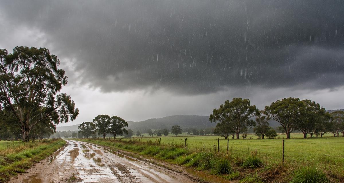
Australia is in a strong El Niño, yet storms and rain keep coming. El Niño usually tilts the odds towards a drier spring in eastern Australia, but it does not switch the rain off. Right now, unusually warm seas around the continent, humid onshore winds and slow-moving troughs are working against it.
Here is what is going on, in plain English, based on the Bureau of Meteorology's climate driver update issued on 27 October 2026.
Is Australia really in a strong El Niño?
Yes. The Bureau reports a strong El Niño, with the weekly Niño3.4 sea surface temperature anomaly at about +2.88°C. That is the highest value in the Bureau's weekly records, which start in 2008.
A positive Indian Ocean Dipole (about +0.69°C) is also in place. Both drivers usually favour drier conditions across parts of Australia. The Southern Annular Mode is currently neutral, so it isn't pushing strongly either way.
So why is it raining so much?
Climate drivers set the background odds. Day-to-day rain still comes from weather systems: troughs, highs, fronts and thunderstorms. When those line up with plenty of moisture, it rains, El Niño or not.
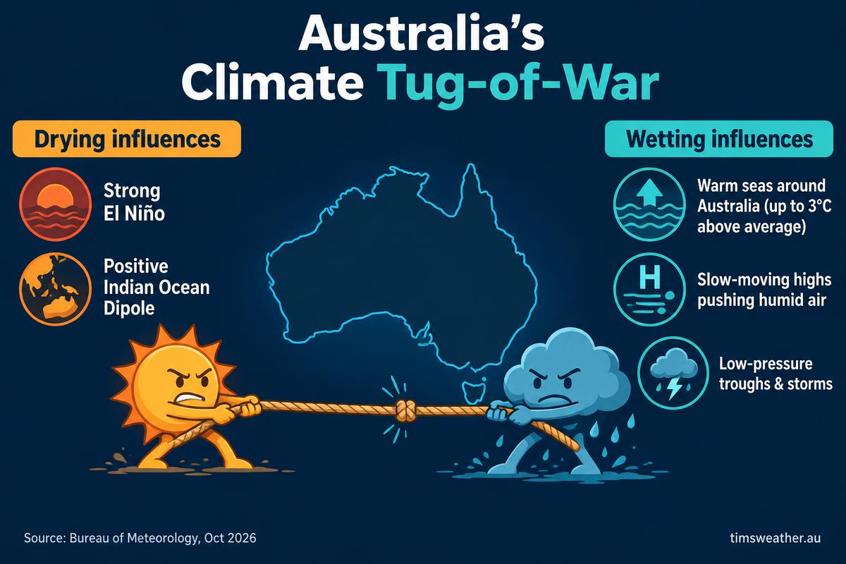
- Warm seas: waters off Australia's west, south and south-east are up to 3°C above average.
- Humid onshore winds: a slow-moving high in the Tasman Sea has pushed moist air onto the east coast.
- Troughs and storms: inland troughs have lifted that moist air into thunderstorms.
In the week to 26 October, storms brought 10–100 mm to large parts of Queensland and northern and eastern New South Wales.
The "boiling kettle" effect
Think of the ocean as a kettle on the stove. The warmer the water, the more steam (water vapour) rises into the air above it. Winds carry that extra moisture over land, and when a trough or storm lifts it, it falls as heavier rain.
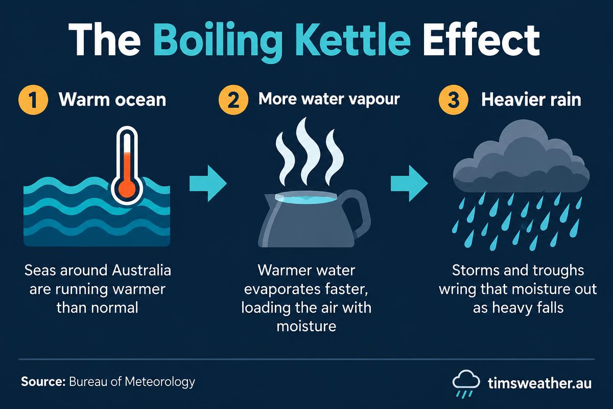
The Bureau notes that warm waters near Australia add moisture and energy to the atmosphere. Long-term warming of the oceans around Australia makes this effect more common than it used to be, as outlined in the CSIRO and BOM State of the Climate report.
Does El Niño always mean drought?
No. El Niño raises the chance of below-average rain, mostly in eastern Australia during winter and spring. It is a nudge, not a guarantee. Some El Niño years have still delivered floods, and local conditions can easily outweigh it for weeks at a time.
What's the rain outlook for the coming months?
The Bureau's November to January outlook favours above-average rainfall across much of the west, centre, inland Queensland and northern New South Wales. Parts of the south-east and the far north lean below average.
That fits the pattern: El Niño is not the only driver at the wheel this season. Keep an eye on our Australian seasonal weather forecast and the 2026–27 cyclone and wet-season outlook.
What it means for you
- Don't assume an El Niño season will stay dry; plan for storms.
- Check the daily rainfall forecast map and thunderstorm forecast before travel or outdoor work.
- For flood-prone areas, see our flooding guide, and compare with Australia's historical rainfall.
- Always follow official Bureau of Meteorology warnings.
Sources
Planning weeks ahead?
Check Australia's long-range seasonal outlook for rainfall, temperature and the climate drivers (ENSO, IOD, SAM, MJO) shaping the next three months.
View Australia's Seasonal Weather Forecast